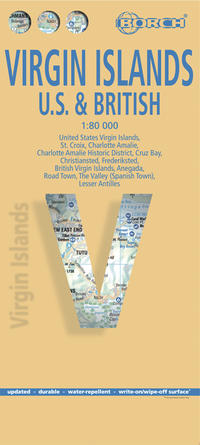
Our laminated and folded Borch Map of the British and United States Virgin Islands in the 5th edition contains: the U.S. Virgin Islands 1:80 000, St. Croix 1:80 000, Charlotte Amalie 1:15 000, Charlotte Amalie Historic District 1:7 500, Cruz Bay 1:15 000, Christiansted, Frederiksted 1:15 000, the British Virgin Islands 1:80 000, Anegada 1:80 000, Road Town, The Valley (Spanish Town) 1:15 000, Lesser Antilles 1:7 000 000 and an administrative map of the Virgin Islands with time zones. Borch Maps contain a multitude of interesting and useful information, highly detailed and user-friendly cartography, but also statistics, conversion tables, climate data and numerous detail maps, making a Borch Map an excellent travel companion. Map format (open): 880 x 494 mm.